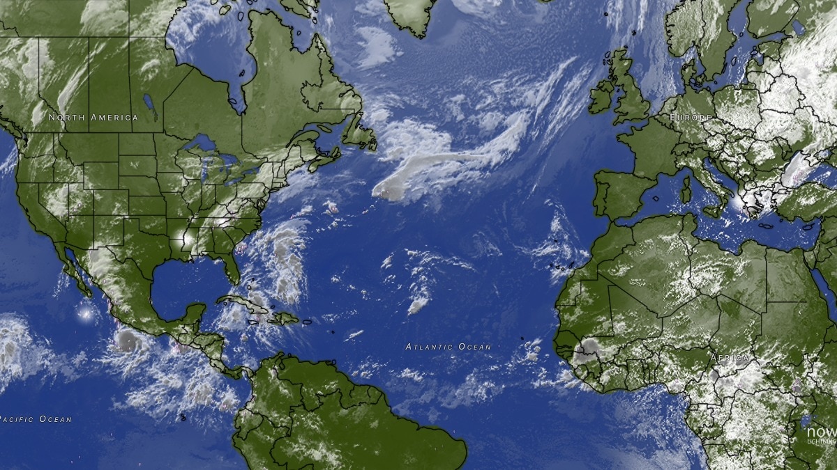
El Nino broke a record three months in advance. Is it going to get worse?
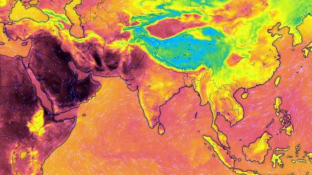
El Nino, the climate pattern that can alter weather across large parts of the world, has already broken a major temperature record, even though it is not expected to reach its peak for another three months.
Last week, the average sea-surface temperature in the Nino 3.4 region of the central equatorial Pacific was 3.05°C above normal, according to Noaa's sea surface temperature data.You are looking at the strongest El Nio event on record.On Sept. 19, the key monitoring region in the Pacific Ocean reached 3.05°C above average, breaking the record from November 2015.There are still three months of strengthening to go. pic.twitter.com/hLcK0aePwg— Ben Noll (@BenNollWeather) September 20, 2026
That is the highest daily sea-surface temperature anomaly recorded in that dataset, and it also came about two months earlier than the previous record peak, set during the powerful 2015 El Nino.WHY IS 2026 EL NINO DIFFERENT?
El Nino occurs when waters in the central and eastern equatorial Pacific become unusually warm.
That extra heat can alter atmospheric circulation and, in turn, influence rainfall, temperature and storms thousands of kilometres away.
The latest numbers show just how quickly the current event has intensified.
Earlier in September, Noaa's Climate Prediction Center said that sea-surface temperatures in parts of the eastern equatorial Pacific were more than 3°C above average.
The Nino 3.4 index, a key measure used to track El Nino, had reached more than 1.8°C in August. A satellite image of the warm portion of the Pacific Ocean. (Photo: Windy) The World Meteorological Organisation (WMO) had already warned earlier this month that El Nino was likely to strengthen further and persist into early 2027.
The WMO said the Nino 3.4 index had risen from an average 1.5°C above normal during May-July to over 2.0°C in July, with weekly values later reaching about 2.2-2.6°C.
Noaa has forecast a greater than 90% chance of a very strong El Nino during the Northern Hemisphere autumn and winter.
It also put the chance of a record-strength event, based on a three-month index, at 75% for October-December.Here's a detailed look at how El Nio evolved from January 1st, 2026, to September 19th, 2026 & how we got to the strongest El Nio since the beginning of weather satellites in 1950.Also, the transition from La Nia very early this year to now the strongest El Nio on record pic.twitter.com/mNq1p2J72w— David Schlotthauer (@Weatherunited1) September 20, 2026HOW IS EL NINO AFFECTING INDIA?
For India, El Nino has become one of the major climate factors influencing the southwest monsoon.
Historical data analysed by the India Meteorological Department (IMD) show that El Nino years have often been associated with below-normal monsoon rainfall.
The immediate significance of the current record is therefore not that India could face a particular weather outcome, but that a major global climate driver is entering the next phase of its development at exceptionally high strength.
And with the event still expected to intensify towards a December peak, the record set in September may not be the final one.- EndsPublished By: Aryan Published On: Sep 22, 2026 11:50 IST